
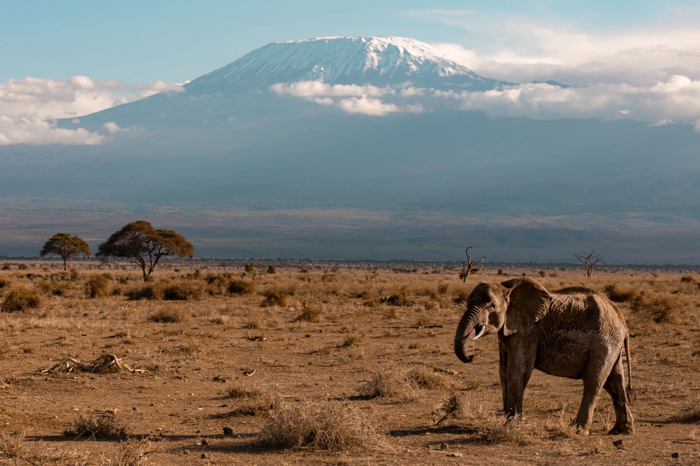
 Mountain Trekking
Mount Kilimanjaro National Park
6-Day Kilimanjaro Marangu Route
Tour overviewThe six-day Marangu Route takes you up Kilimanjaro’s eastern slopes, from green mountain forest to the wide...
From $1,500 per adult
Loading

Kilimanjaro, Northern Zone, Tanzania, Moshi
From $1,750 per adult
The Lemosho Route begins on Kilimanjaro’s western side, where the first hiking days unfold under a canopy of montane forest before the scenery opens into high-altitude heath and moorland. This seven-day version crosses the Shira Plateau, visits the quieter Moir Hut area and continues past Lava Tower toward Barranco. From there, the trail leads over the Barranco Wall and through Karanga to Barafu Camp, the staging point for the summit attempt.
What makes this journey distinctive is the change in landscapes. Forest paths give way to wide plateau views of Kibo, sparse alpine terrain and the striking southern slopes of the mountain. The itinerary also includes an important “climb high, sleep lower” section around Lava Tower and Barranco, although no route can remove the risk of altitude sickness.
The final ascent begins in darkness. Guided by headlamps, climbers make their way toward Stella Point on the crater rim and, when conditions and individual fitness allow, continue to Uhuru Peak. After the summit attempt, the route descends to Mweka Camp before the final forest walk and transfer back to the Arusha/Usa River area.
Walk across the vast Shira Plateau, enjoying breathtaking landscapes and ever-changing views of Kibo Peak as you explore one of Kilimanjaro’s most scenic high-altitude regions.
Spend a night at Moir Hut near the scenic Lent Hills, enjoying the peaceful high-altitude wilderness and dramatic mountain landscapes while preparing for the next stage of your Kilimanjaro adventure.
Pass the dramatic Lava Tower area before descending toward Barranco Camp, following a challenging high-altitude route designed to support acclimatisation and help your body adjust to Kilimanjaro’s changing elevations.
On this route
Your mountain journey begins with a road transfer toward Londorossi Gate, the western access point for the Lemosho Route. At the park entrance, the guide and support crew complete registration and organize equipment. The transfer then continues toward the trailhead, where the first walk begins after lunch or a short rest, subject to gate processing and road conditions.
The forest section feels completely different from the upper mountain. Humid air, moss-covered trunks and a dense canopy surround the trail. The ground can be wet or slippery, especially after rain. Your guide sets a measured pace to establish a sustainable rhythm from the start; there is no reward for rushing at altitude. Watch for the sounds of forest birds and movement in the trees as the team makes its way to camp.
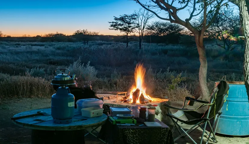
By late afternoon you reach Forest Camp, where the crew prepares the tents and evening meal. Use the remainder of the day to hydrate, change into dry layers and rest. The first night under canvas is a chance to settle into the mountain routine before the landscape begins to open.
Stage notes from original file: approximately 4–5 hours walking; 7,800–9,500 ft listed. The source also lists “70 km” as hiking distance, which is inconsistent with this short forest stage and must be corrected by Operations.
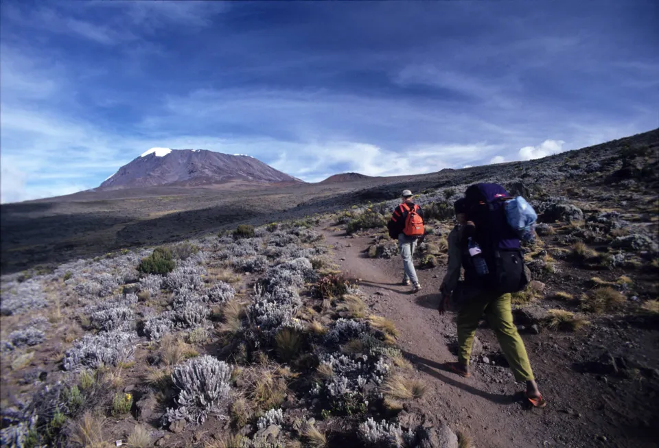
After breakfast, you leave the dense rainforest behind. The trees thin out and the route climbs into open heath and moorland, revealing tall grasses, heather and volcanic rock across the slopes. The surrounding views become wider with each section of the trail, and on a clear day the upper mountain comes into view.
The path continues across rolling ground and seasonal streams toward the Shira Ridge. The change of altitude is noticeable both in the vegetation and in the cooler, more exposed air. Your guide will encourage regular drinking and short breaks as needed; climb at a conversational pace and pay attention to symptoms such as headache, nausea or unusual fatigue.
Once you reach Shira 1, take time to appreciate the plateau. Kibo rises in the distance, a reminder of the summit ahead but not a reason to rush. Dinner and an early night help you recover before the longer approach toward Moir Hut.
Stage notes from original file: around 8 km; 5–6 hours; elevation approximately 9,500–11,500 ft. These are indicative, not GPS-certified measurements
Today brings one of the broadest changes of scenery on the route. You cross the Shira Plateau with Kibo’s upper slopes dominating the horizon. The open ground can feel exposed to wind and sun, and temperatures can shift quickly when clouds arrive. As you travel east, the trail passes the Shira 2 area before continuing toward the Moir Hut region at the base of the Lent Hills.
This is not simply a transfer day. The high plateau offers a chance to appreciate Kilimanjaro as a vast volcanic landscape, not just a summit. Depending on how everyone is feeling and the guide’s judgement, there may be time for a short exploratory walk after arriving at camp. Any additional walking should serve acclimatization and enjoyment, not exhaustion.
Because the following days will reach much higher ground, the guide should check every climber’s condition carefully in camp. Eat well, keep warm and discuss any symptoms honestly rather than trying to hide discomfort.
Stage notes from original file: about 14 km; 5–7 hours; 11,500–13,800 ft. Actual trail length and timing require verification against the final camp bookings.
The fourth trekking day moves deeper into Kilimanjaro’s alpine landscape. The route turns toward the Lava Tower area, where volcanic formations and sparse vegetation create a rugged setting. Conditions become cooler and windier as you climb; walking can feel harder even at a steady pace because of the thinner air.
A key feature of this stage is the high point followed by descent. After reaching the Lava Tower vicinity, the trail drops toward Barranco Camp. This changing altitude profile is often described as “climb high, sleep lower.” It may support acclimatization, but it does not guarantee safety from acute mountain sickness. Your guide should assess symptoms and be ready to change plans if a climber is unwell.
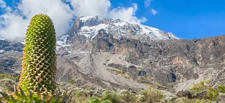
As the trail descends, the Barranco valley and its distinctive plant life come into view. The imposing Barranco Wall stands above camp, setting the scene for tomorrow’s traverse. After a demanding day, the evening is for recovery, a warm meal and a briefing about the terrain ahead.
Source stage notes: 7 km; 4–6 hours; stated overnight around 13,000 ft. Distances and timings should be checked, particularly because the Moir Hut starting point may change the walking length
After breakfast, the climb begins with the Barranco Wall. It looks dramatic from below, but the normal route is a guided scramble rather than a technical rock climb. You will sometimes use your hands to steady yourself. Move one careful step at a time, leave space between hikers and follow the crew’s guidance, particularly if the rock is wet.
Beyond the wall, the path weaves through ridges and valleys toward Karanga, where the mountain feels increasingly bare. Some itineraries overnight at Karanga; this seven-day source continues onward the same day to Barafu. That makes it a notably long and demanding stage with less recovery time than versions that add a separate Karanga overnight.
The final approach climbs toward Barafu Camp, a high and exposed location on rocky ground. Once you arrive, eat, organize your summit clothing in the order you will use it and fill your bottles or hydration reservoirs. Your guide explains the overnight departure, route, expected conditions and the criteria for stopping or turning around.
Source stage notes: about 9 km; 8–10 hours; approximately 13,000–15,000 ft. Treat the schedule as strenuous and have Operations verify the timing for this particular 7-day configuration
Summit night usually starts around midnight, although the exact time depends on the guide’s assessment of weather, team fitness and trail conditions. Wrapped in warm layers and following the light of your headlamp, you climb steadily over steep scree toward the crater rim. The air is cold and thin, and this is commonly the hardest part of the expedition. Short deliberate steps, close attention to the guide and honest reporting of symptoms matter far more than speed.
The usual path reaches Stella Point on the crater rim before continuing toward Uhuru Peak, the highest point in Africa at approximately 5,895 metres. Sunrise views can be remarkable when the sky is clear, but clouds, snow, wind and ice can affect visibility and progress. Reaching the summit is never guaranteed; a safe turnaround is always the right result if conditions or health require it.
After the summit attempt, descend carefully to Barafu for a short break and then continue down toward Mweka Camp. The long descent is hard on tired legs and knees; trekking poles and careful foot placement are helpful. By the time you arrive in the upper forest zone, the air feels warmer and richer than it did at the summit. Your mountain crew provides the final campsite meal and an opportunity to rest.
Source stage notes: approximately 5 km ascent plus 12 km descent; ascent 7–8 hours and descent 4–6 hours (highly variable); quoted summit altitude 19,345 ft. These figures are estimates and must not be presented as guaranteed.
After breakfast, begin your final descent through the rainforest. The path becomes greener and the air more humid, with chances of mud and slippery sections. Rainwear and poles should remain accessible even though the climb itself is almost complete.
At Mweka Gate, the climbing team completes park exit formalities and eligible climbers can receive their summit or completion documentation according to park procedures. There is time to thank your guides and porters before the arranged vehicle transfer returns you to your hotel in the Arusha/Usa River area.
The afternoon or evening is yours to recover, shower and reflect on the journey from western rainforest to Africa’s highest peak. If your international flight is on the same day, confirm transfer times carefully; a separate departure day is usually less rushed.
Source stage notes: 4–5 hours walking. The original file incorrectly lists “70 km” as the trail distance; this must be revised. Overnight hotel and meal basis require confirmation
No payment is taken online. We confirm availability, the children's ages and the final price with you.
5/5 Excellent fit
5/5 Excellent fit
4/5 Very good fit
Private or shared
Moderate
1 – 15 travellers
7 Days
Jan – Feb, Jun – Oct
Children aged 4 and under travel free. Add each child's age in the price calculator and we confirm the ages when you book.
Mountain Trekking
Climb in the two dry windows: January to March and June to October.
More about Mount Kilimanjaro National Park
Born and raised near the Serengeti, Juma has over a decade of field experience guiding international travelers across the Northern Safari Circuit. He is an expert tracker with deep knowledge of animal behavior, birding, and African ecology
No reviews yet for this tour. Travelled with us? Add yours below.
• Guided trek and mountain team including an English-speaking guide and porter; • Mountain camping accommodation and stated camping equipment; • Transfers described in the itinerary; • National park and rescue fees; and more. See the full list above.
• International and domestic flights; • Visa, travel insurance, personal expenses and tips; • Alcohol and soft drinks beyond the stated water provision; • Sleeping bag (rentable according to the original proposal).
This tour runs with 1 – 15 travellers.
The best months for Mount Kilimanjaro National Park are Jan – Feb, Jun – Oct. Climb in the two dry windows: January to March and June to October.
It is a recognized shorter configuration, but the long Barranco-to-Barafu day and limited flexibility may make it demanding. An additional trekking day can provide a less compressed itinerary; discuss options with the guide and operator.
This route uses camping accommodation on the mountain, as stated in the original itinerary. Exact tent arrangements and equipment should be confirmed in the quotation
The trek starts through the western Londorossi/Lemosho access area and finishes at Mweka Gate, followed by a road transfer to Arusha or Usa River.
First-time high-altitude hikers should assess fitness, preparation and acclimatization options carefully. The mountain is strenuous and a summit cannot be promised
The mountain guide makes safety-based decisions, including delaying, modifying or cancelling a summit attempt where necessary
Send an enquiry with your dates and the number of travellers. Our team confirms availability and the final price. No payment is taken online.
Yes. Download the sample quote for an indicative price, then send an enquiry for your own.
Mountain Trekking
Mount Kilimanjaro National Park
Tour overviewThe six-day Marangu Route takes you up Kilimanjaro’s eastern slopes, from green mountain forest to the wide...
From $1,500 per adult
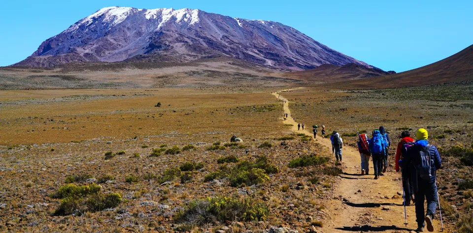 Mountain Trekking
Mount Kilimanjaro National Park
changes in scenery along the climb. In seven days, you pass through dense montane forest, open moorland, volcanic ridges...
From $2,500 per adult
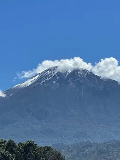 Mountain Trekking
Arusha National Park
Mount Meru rises above Arusha National Park and rewards hikers with a striking combination of wildlife-rich lower slopes...
From $1,500 per adult
From $1,750 per adult
7 Days · 1 – 15 travellers

watotowabingwasafaris.com
Install Progressive Web Application
This site has app functionality. Install it on your device for extensive experience and easy access.